
The last ARIADNA webinar titled “GALILEO for Mobility Start-ups & SMEs – How to best leverage geolocation for urban mobility solutions” took place on 18 June from 11am to 12.30pm. The webinar, addressed at start-ups and SMEs in the urban mobility sector, offered the participants the opportunity to better understand how to leverage GALILEO-enhanced geolocation in their solutions and to improve their value proposition.
Following is a wrap-up including the full recording of the session, as well as links to the presentations and the White Paper presented during the session.
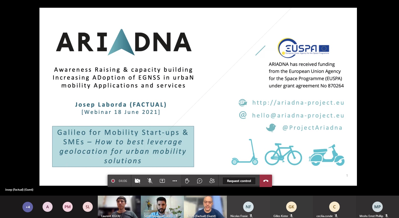
First of all, Josep Laborda, CEO & Managing Partner at Factual (Coordinator of the ARIADNA project), gave a brief introduction into ARIADNA, the flagship European project designed to highlight the benefits of Galileo as an enabler to more efficient urban mobility, especially taking into account the increasing restrictions in dense urban areas. Josep also emphasised the advantages that ARIADNA offers to startups and SMEs, such as early access to official deliverables, a free coaching programme and visibility and dissemination.
Next, Sergi Paniagua, ITS Project Manager at Pildo Labs, presented the work carried out so far in the project and how the consortium can support mobility actors to get the best out of Galileo. Using the example of three different real use cases, Sergi explained the benefits of having multi-constellation and multi-frequency receivers, resulting in improved accuracy and continuity, better security, among others. In this sense, interesting resources for startups and SMEs to improve their value propositions through geolocation were pointed out, especially the Galileo DEMO KIT that has been developed to demonstrate how much better Galileo enabled multi constellation receivers performs compared to GPS-only receivers.
Finally, Álvaro Ferrer from Reby, a Spanish company that designs, manufactures and distributes shared electric vehicles using Galileo technology built in their solutions, explained why in the micromobility business, it is paramount to know the position of a vehicle at all times. All Reby kick scooters, mopeds and bikes are equipped with GNSS receivers which allow to monitor their position at all times. This enables users to quickly find a vehicle they have booked, the operations team to work more efficiently, the data team to optimize routes, determine demand clusters, and in general perform geospatial analysis. Furthermore, it enables to comply with local regulations as well as detecting suspicious behavior’s such as a vehicle being stolen or a user travelling outside the limits of the service area.
Please contact the ARIADNA team in case you are interested to benefit from the free DEMO KIT, which can be run online or physical. The installation is really easy.
Also, please check the “White Paper: EGNSS technology in Urban Mobility and Public Transport” to understand the key benefits of using Galileo and how the ARIADNA Project can help you to get the best out of it.
All presentations are now available for download:
And you can also recap what the speakers and the audience discussed by watching the recording: