
Article written by Charlotte Van Hek, UITP
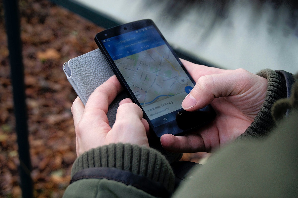
When walking through an unknown city trying to find your way, knowing your exact position is important. Especially in busy cities, the dot on your smartphone telling you where you are and where to go is often an unmissable companion.
But there are many more situations where precise positioning is essential for urban mobility. In most mobility solutions and innovations today, accurate positioning is critical to a well-functioning, safe and efficient service. Below a (small) selection of reasons why #AccuracyMatters.
Automated mobility
It is expected that highly automated vehicles will in the coming years become a reality on European road networks. When we reach that point, most (if not all) driving-related decisions will be based, among other parameters, on the location of the vehicle and of other vehicles and objects in its vicinity. This means that vehicle location and positioning will be a critical component for the effective transportation of people and goods by road vehicles with some level of self-driving capabilities.
For buses, a more concrete example of an automated driving technology application is to implement precise stopping at bus stops with almost no space between the bus and the kerb. This will make getting on and off easier for wheelchair users and elderly passengers.
That positioning will be enabled mainly by GNSS technologies, including Europe’s Galileo, which is expected to offer significant benefits in terms of signal accuracy and authentication compared to the other satellite-based navigation systems.
Sidewalk-level positioning accuracy
Especially in dense urban areas, where streets are narrow and there might be pedestrian lanes close to each other or even on different levels, a good pedestrian navigation experience depends on the accuracy on sidewalk level. While previously navigation technology was only used for driving instructions and street-level accuracy, nowadays we cannot ensure sustainable urban mobility without providing accuracy to pedestrians and cyclists, too.
Because knowing where you walk matters. Imagine you walk on an elevated pedestrian lane, but the location pointer shows you on the ground-level sidewalk, then you would simply receive wrong instructions and lose your way.
Also, for micromobility solutions such as e-scooters or shared bikes, accuracy on sidewalk level is key to a good service. Without knowing your (or the vehicles’) exact location, it will be hard to find your e-scooter or bike in the tangle of streets.
Bus depots
Also in transport vehicle depots, accuracy matters. While the importance of the right positioning is very clear for buses driving on the street, it is also essential to accurately locate buses in depots.
In the recent Whitepaper by ARIADNA (White Paper: EGNSS technology in Urban Mobility and Public Transport), Spanish public transport operator TMB shares how they improved operations in their bus depots since the installation of new multi constellation receivers that can pick up signals from all existing GNSS constellations, including Galileo.
According to TMB, EGNSS can help locating vehicles faster when certain maintenance tasks such as cleaning, repairing, and refueling need to be undertaken. It would also make it easier for bus drivers to find their assigned bus in the morning, before starting a service. Read more in the Whitepaper here.
Further insights for this article were taken from:
https://www.gsc-europa.eu/news/central-role-for-robust-gnss-in-autonomous-driving-2
https://www.broadcom.com/blog/the-next-milestone-in-gnss-sidewalk-level-positioning-accuracy