
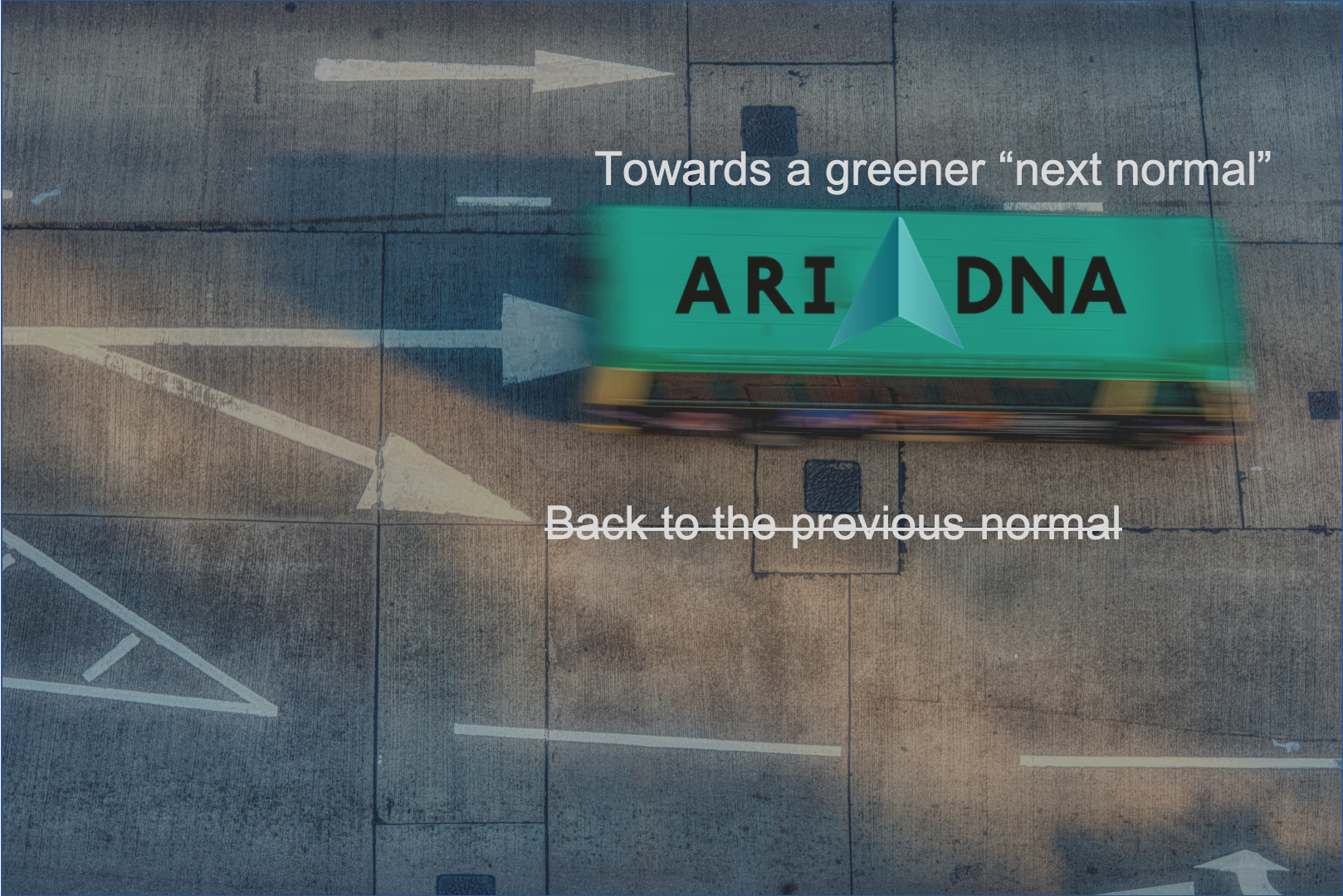
The COVID-19 global crisis has taught us the hard way the direct impact transport has on the environment. Indeed, one of the very few positive outcomes of the pandemic has been air pollution dramatically going down in cities worldwide as a result of the hard measures taken to combat coronavirus, such as reduced traffic during lockdowns. The lesson learnt is that mobility can, and must be more efficiently managed, so we do not go “back to the previous normal”, but advance to a greener “next normal”. As lockdown measures are slowly being lifted, the increasing mobility demand cautiously returns, and so the negative externalities of transport are back, too. Concerns on public transport safety, notably the need to ensure social distancing, may lead to an increase of private transport means even above previous levels, and this is something we cannot afford. In this context, many cities around the world have decided to take the opportunity to build a better, more sustainable and efficient transport system. And ARIADNA has the mission to raise awareness on how space services can play a key role in the modernization of cities and urban transport, opening new possibilities to exploit the synergies of Galileo and Copernicus to “go green”.
Urban areas are obstacle-rich environments generating a “multipath effect” that results in reduced positioning accuracy. By using Galileo capabilities and multifrequency solutions, the accuracy and time to fix a position is significantly improved, which is translated into a better location of vehicle fleets, which is key to optimize network planning. Copernicus services can support emissions monitoring by validating the measurements from existing sensors and extrapolating data to broader areas not covered otherwise. They also provide advanced imagery to support urban planning and monitoring of the activity in the city.
Galileo and Copernicus Earth observations can support cities in their transition to more efficient and sustainable transport, as well as boosting innovation and economic growth. Some examples of indicators that can be assed with space data are:
- Emissions (e.g. COx, NOx, SOx)
- Location and use of public transport fleets
- Use of public roads
- Use of bike lanes, currently increased in many cities now promoting more active mobility
- Waste management efficiency
- Level of activity in ports, airports, and public transport hubs
ARIADNA has launched a survey to assess the level of awareness and use of EU Space Data in urban mobility applications and services. Please take 5-6 minutes to answer our survey. Thank you very much for your support!