One of the goals of the ARIADNA project is to raise awareness about the technological enhancements of EGNSS. Luckily, there are many fellow EUSPA projects supporting this objective: they are developing, analysing or demonstrating the benefits of EGNSS in different applications and contexts. We are happy to share with you some of them!
Meet the ESRIUM project, or EGNSS-enabled Smart Road Infrastructure Usage and Maintenance for increased energy. Gathering nine partners from five EU countries, the project started December 2020 and will end in 2023.
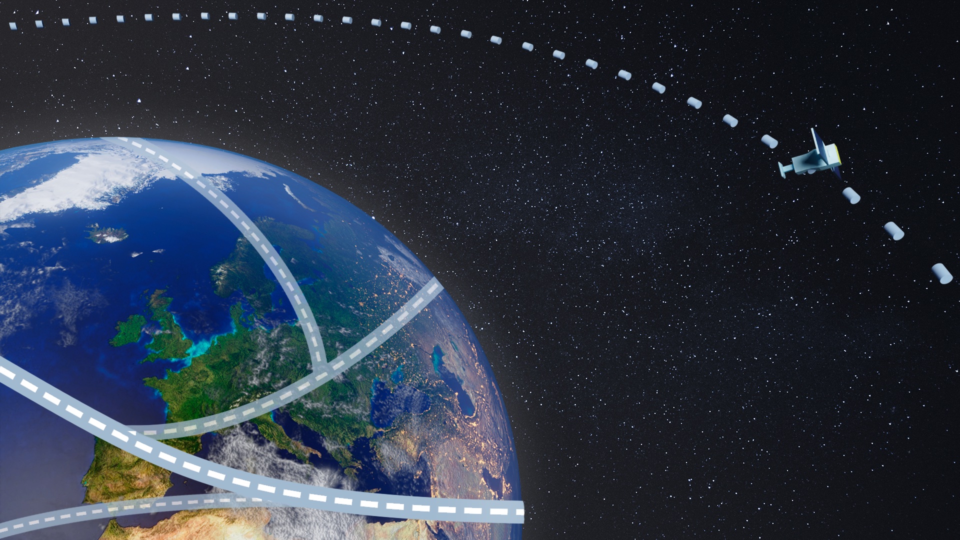
ESRIUM aims to increase the safety and resource efficiency of transport on European roads. Its key innovation is a digital map of road surface damage and road wear (the fragmentation and breakdown of road pavements’ surfaces when interacting with vehicle tires). This road wear map will contain unique information for road operators to enhance the road maintenance planning and to provide valuable route recommendations to automated vehicles.
“ESRIUM seeks to demonstrate the advantages of using Galileo and EGNOS through concrete applications in the field of road infrastructure. The ESRIUM ENGSS-based digital map of road damages will make the European road network safer and more efficient, working towards a smarter, safer, and greener transport system.”
Annarita Leserri, Communications and EU Project Manager at ENIDE and ESRIUM
Towards better and safer roads
The imbalanced usage of the road surface contributes to its degradation, leading to safety risks especially for connected and automated vehicles (AVs). The problem becomes even worse with harsh weather conditions.
The overall objective of ESRIUM is to foster safer and more efficient roads, ultimately to achieve a smarter, greener transport system. This will happen through an ENGSS-based digital map that will generate routing recommendations in-lane and cross-lane taking into account the following aspects:
- Road damage locations;
- Road damage type;
- Recent repair interventions;
- Prediction on temporal evolution of road damages depending on environmental and traffic conditions.
The system combines data coming from cameras, sensors and EGNSS-enhanced localisation devices. Considering a European-level business-case, only Galileo may provide such a service in homogeneous quality, even at very remote locations on the European continent.
The recommendations will lead to a more balanced use of the road surface and to a longer lifetime of the road infrastructure.
Want to know more about the ESRIUM project? Check out the project website!
ESRIUM Workshop On Traffic Infrastructure Mapping And Automated Damage Assessment Systems
ESRIUM is organising its first workshop at ICVS 2021 on 24th September 2021, from 9:30 am CET to 12:30 pm CET. In this free online workshop, the ESRIUM concept and product vision will be presented and demonstrated with the alpha prototype. You will also have the opportunity to have your say and to engage with the experts in ESRIUM and in other related projects in Europe. Have a look at the agenda and register to the event: https://esrium.eu/index.php/workshop-1/
You can also keep updated on the project through Twitter and LinkedIn.
 This project has received funding from the European Union Agency for the Space Programme (EUSPA) under grant agreement No 870264
